We took the ferry out to Bradford island yesterday to collect map data in the field for our Contra Costa County mapbook project. We took the ferry and drove around the island, collecting data along the way. Here’s some pics along the way.
Our starting point, waiting for the ferry on Middle River with Blake Johnson.
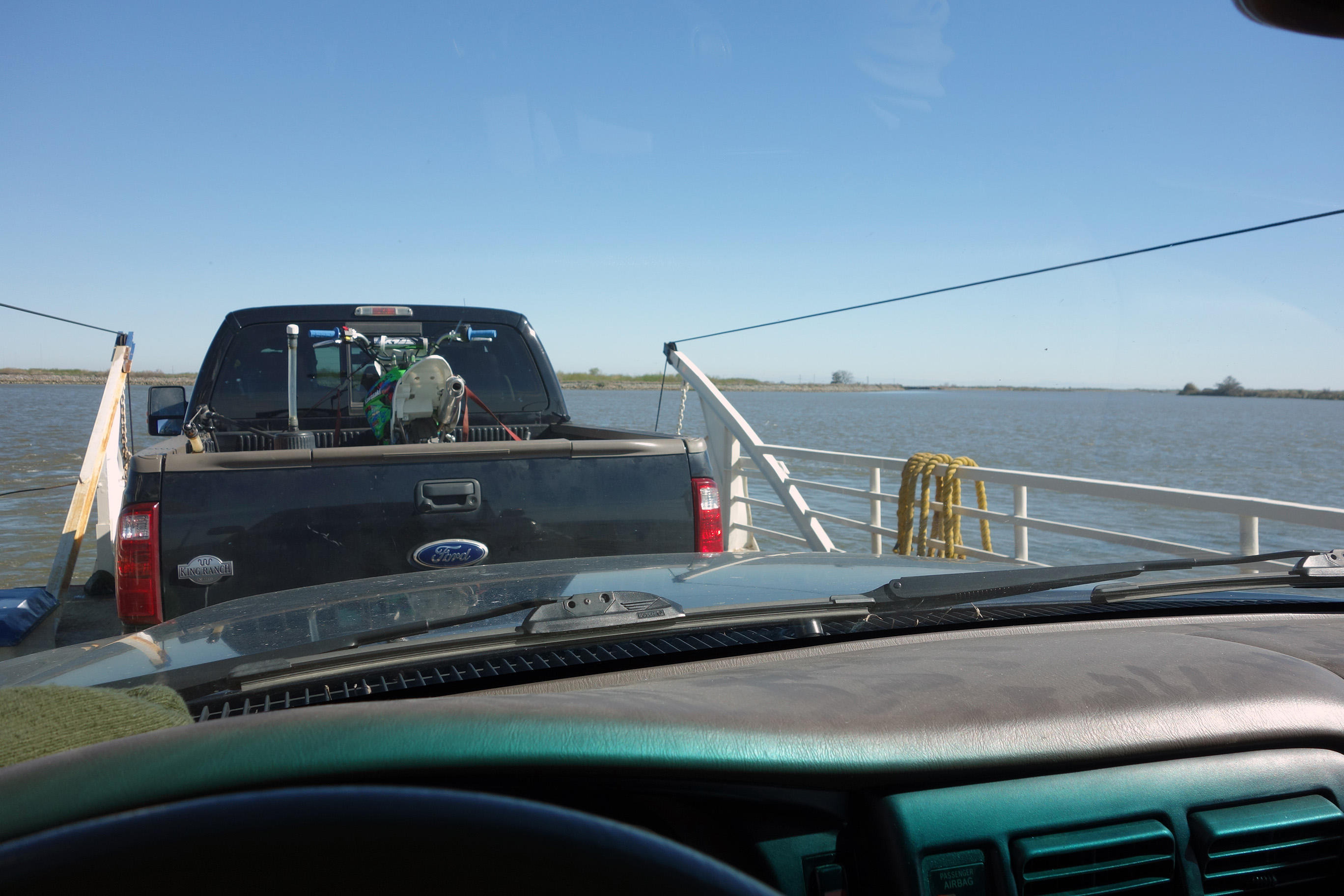
On the ferry.
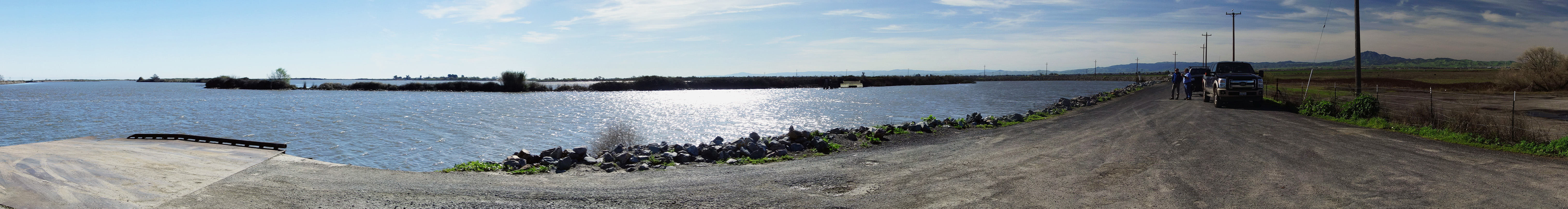
First stop along Middle River.
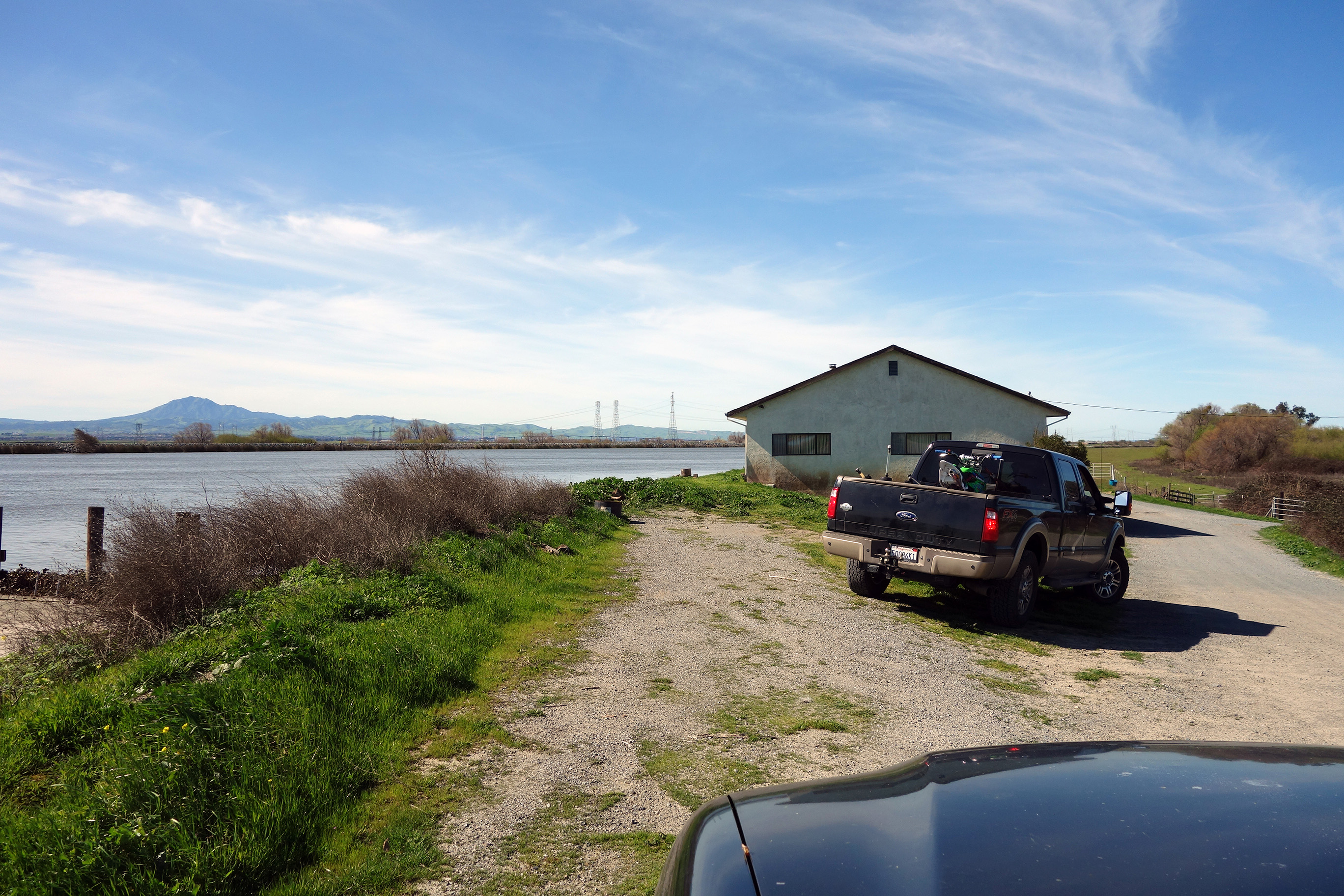
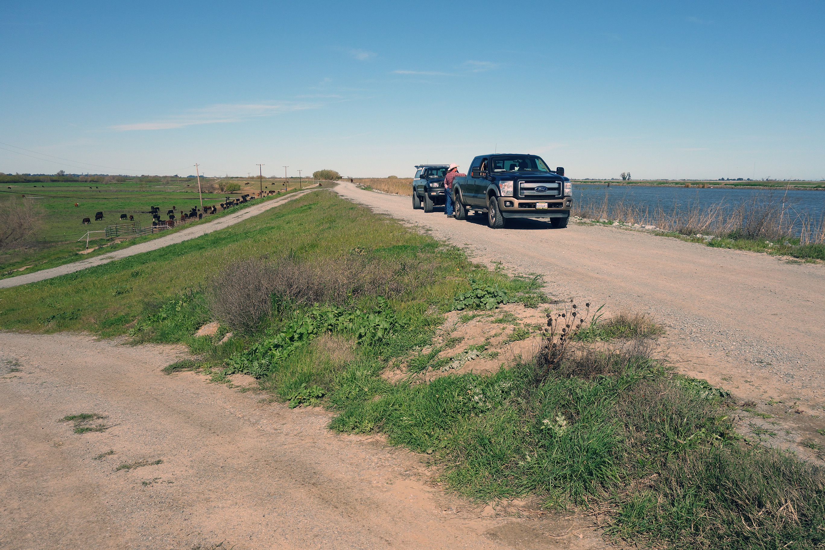
Local cattle rancher Smith, with Blake Johnson, along Middle River.
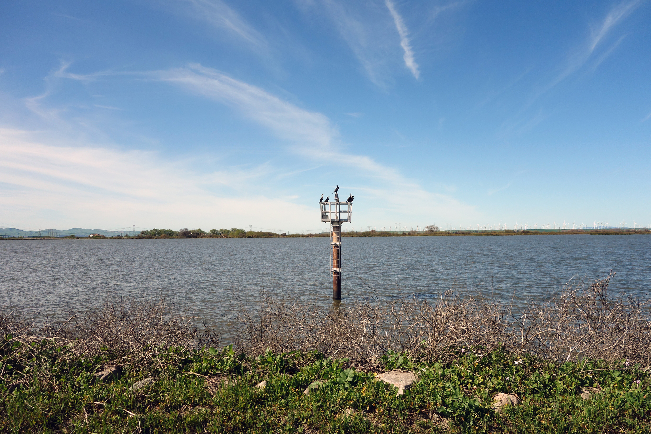
Buoy along the San Joaquin River.
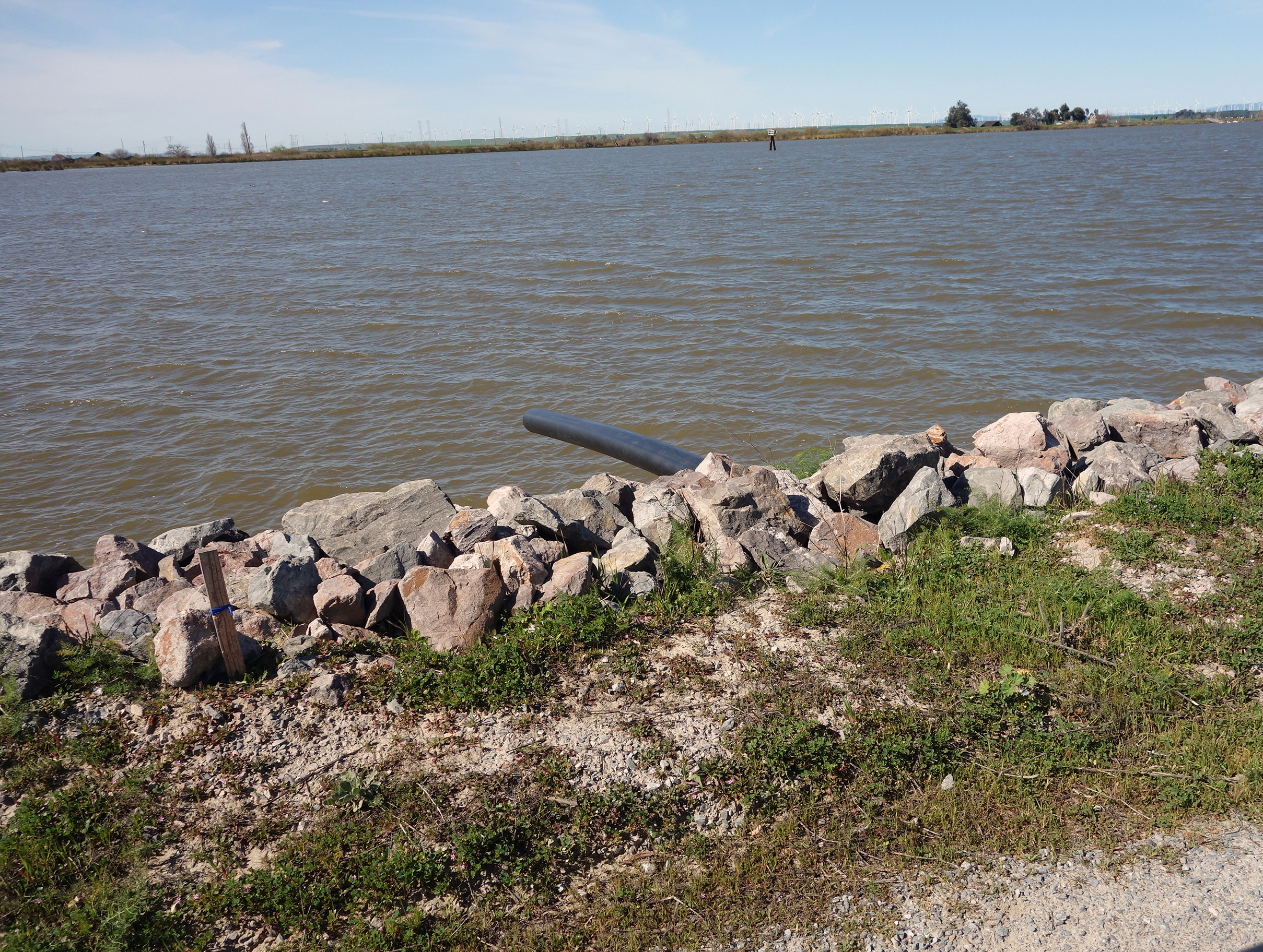
Siphon through levee along the San Joaquin.
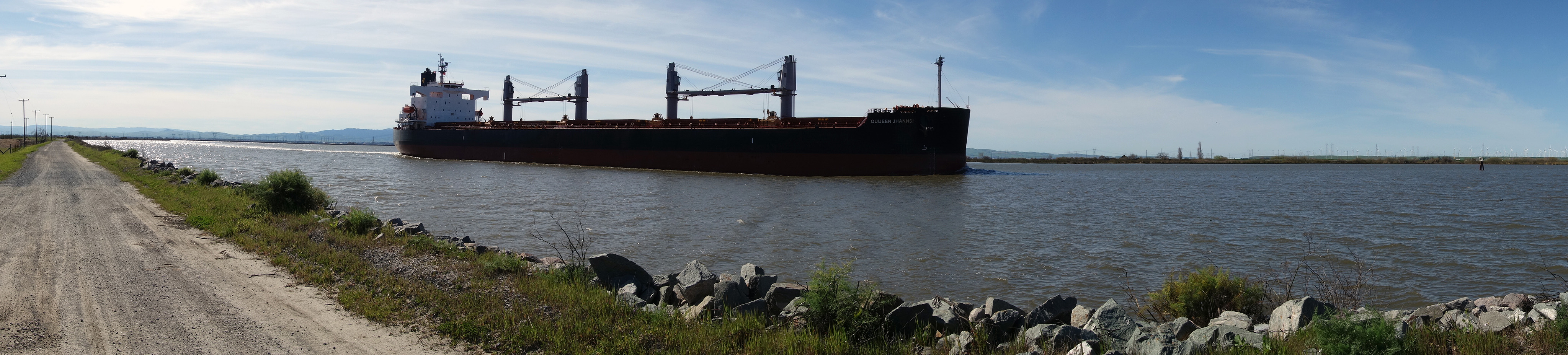
Cargo ship passing on the San Joaquin.
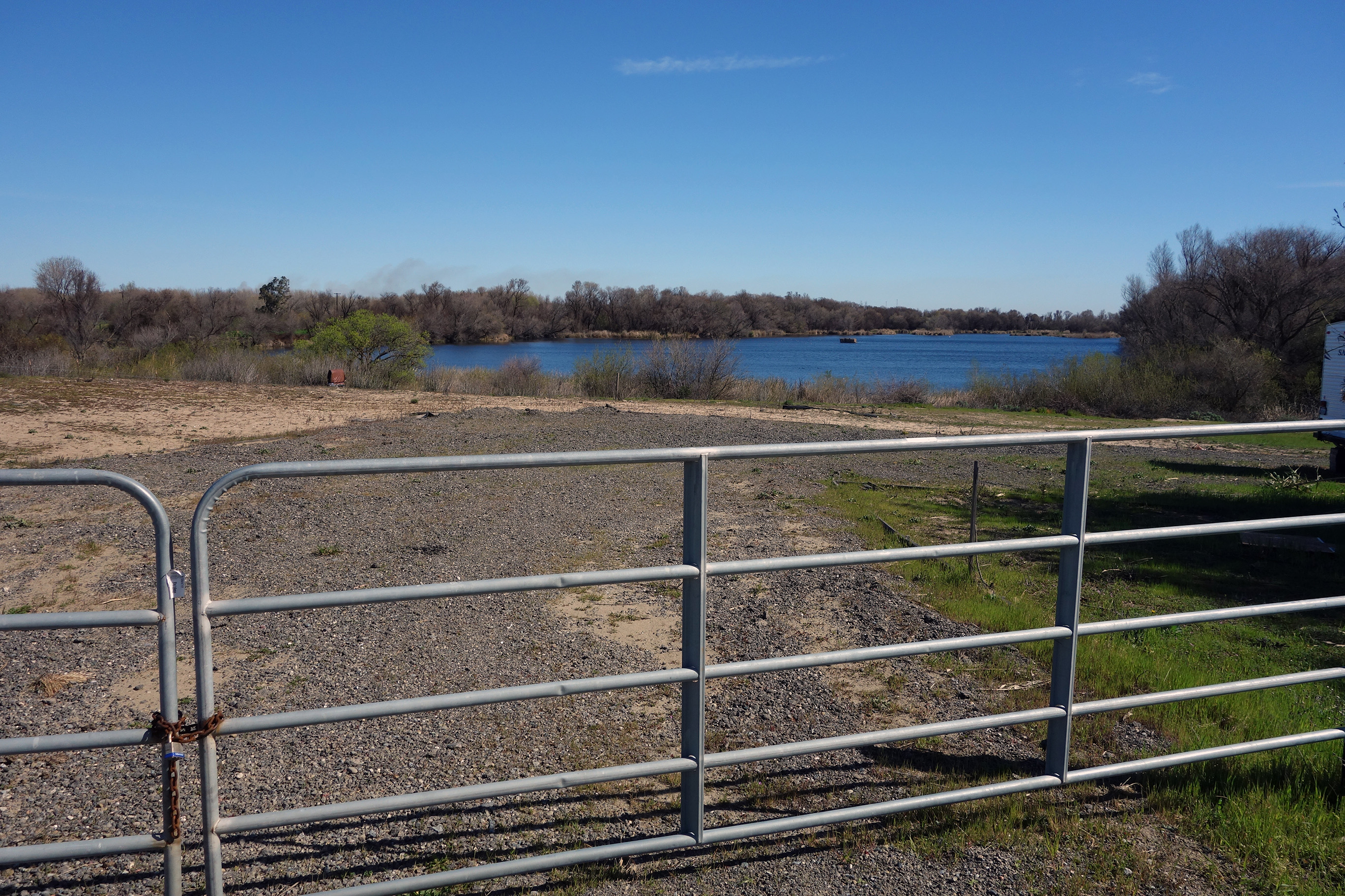
Site of small lake caused by a historic levee breach in the early 80’s.
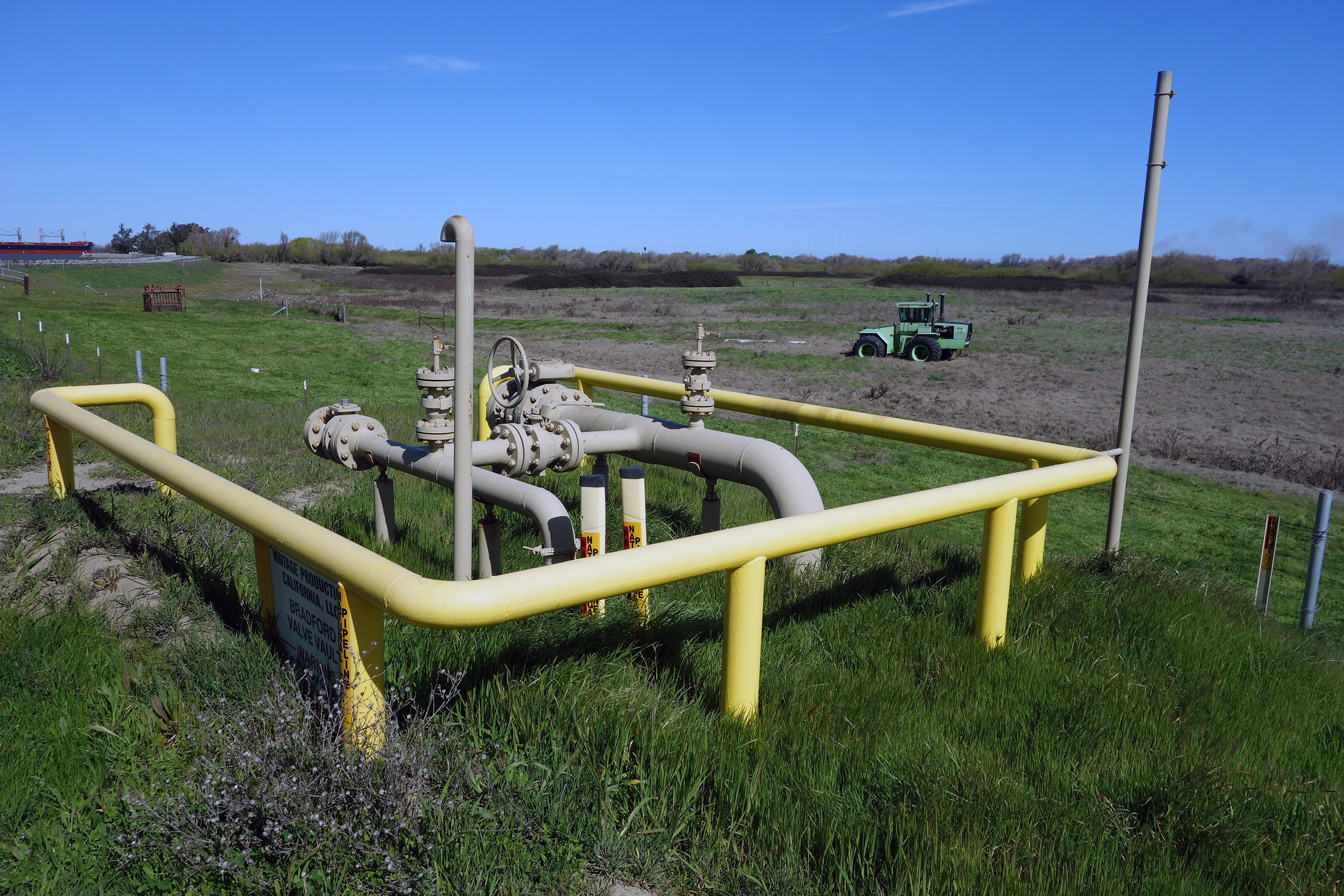
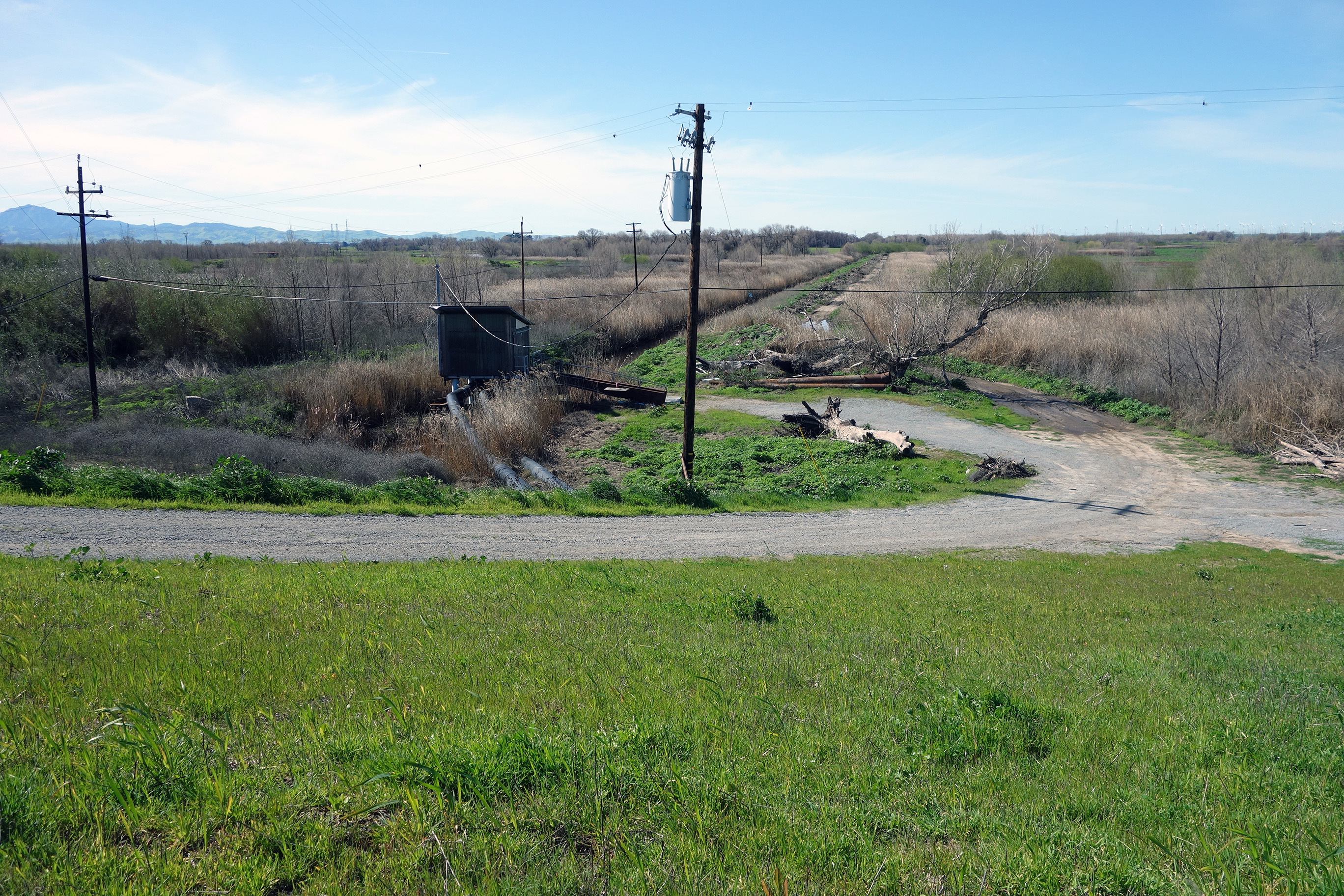
Island infrastructure.
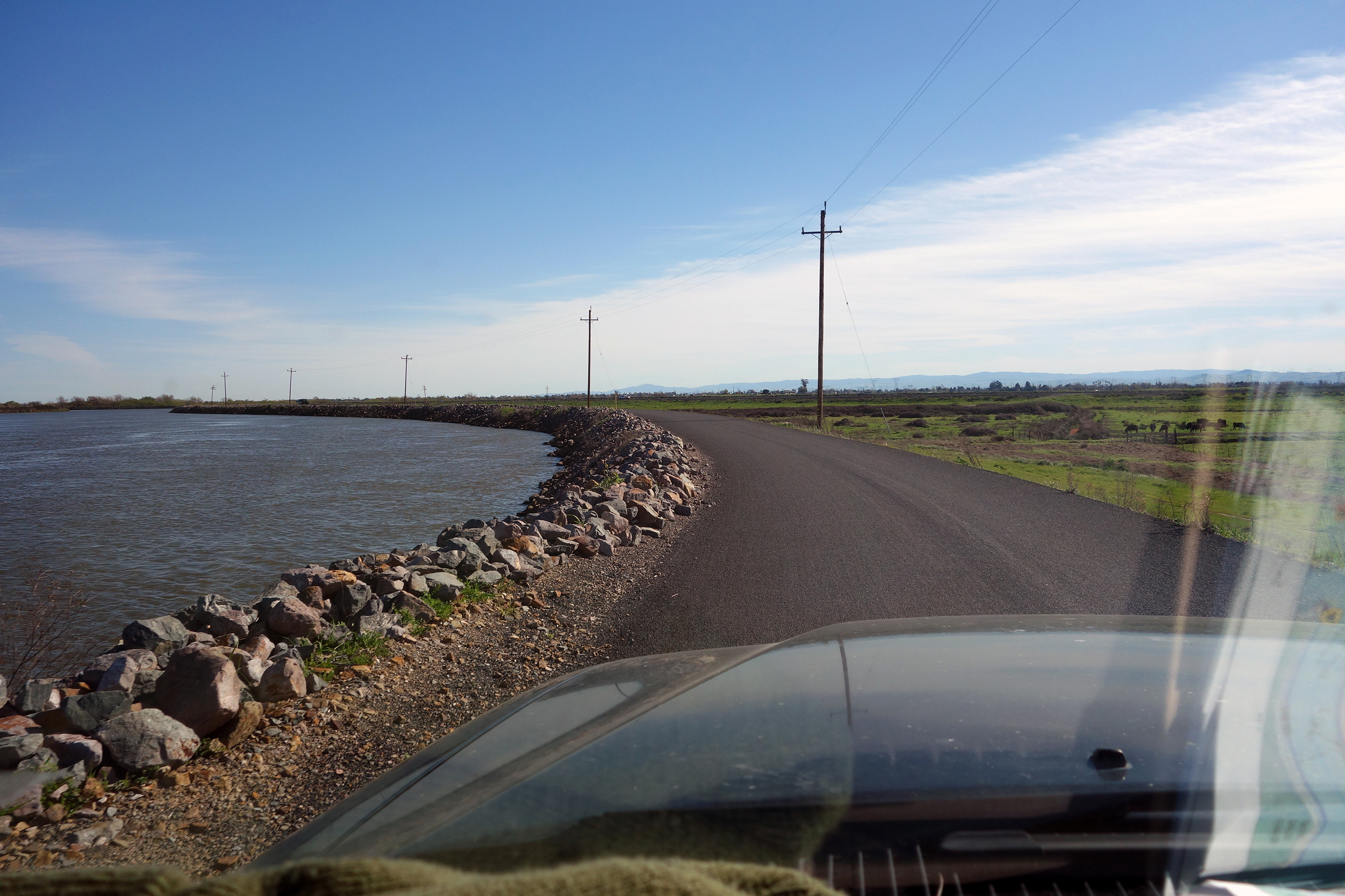
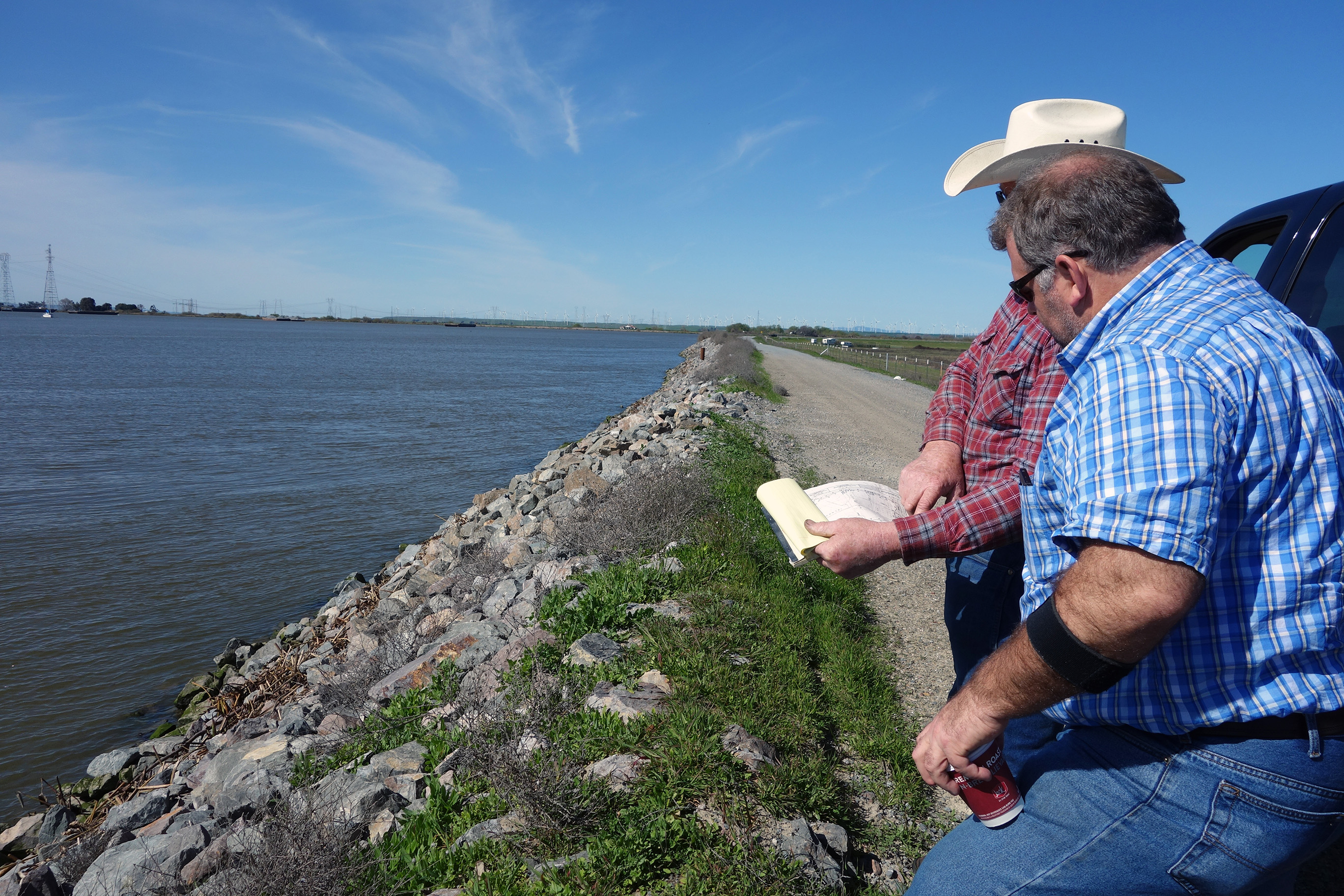
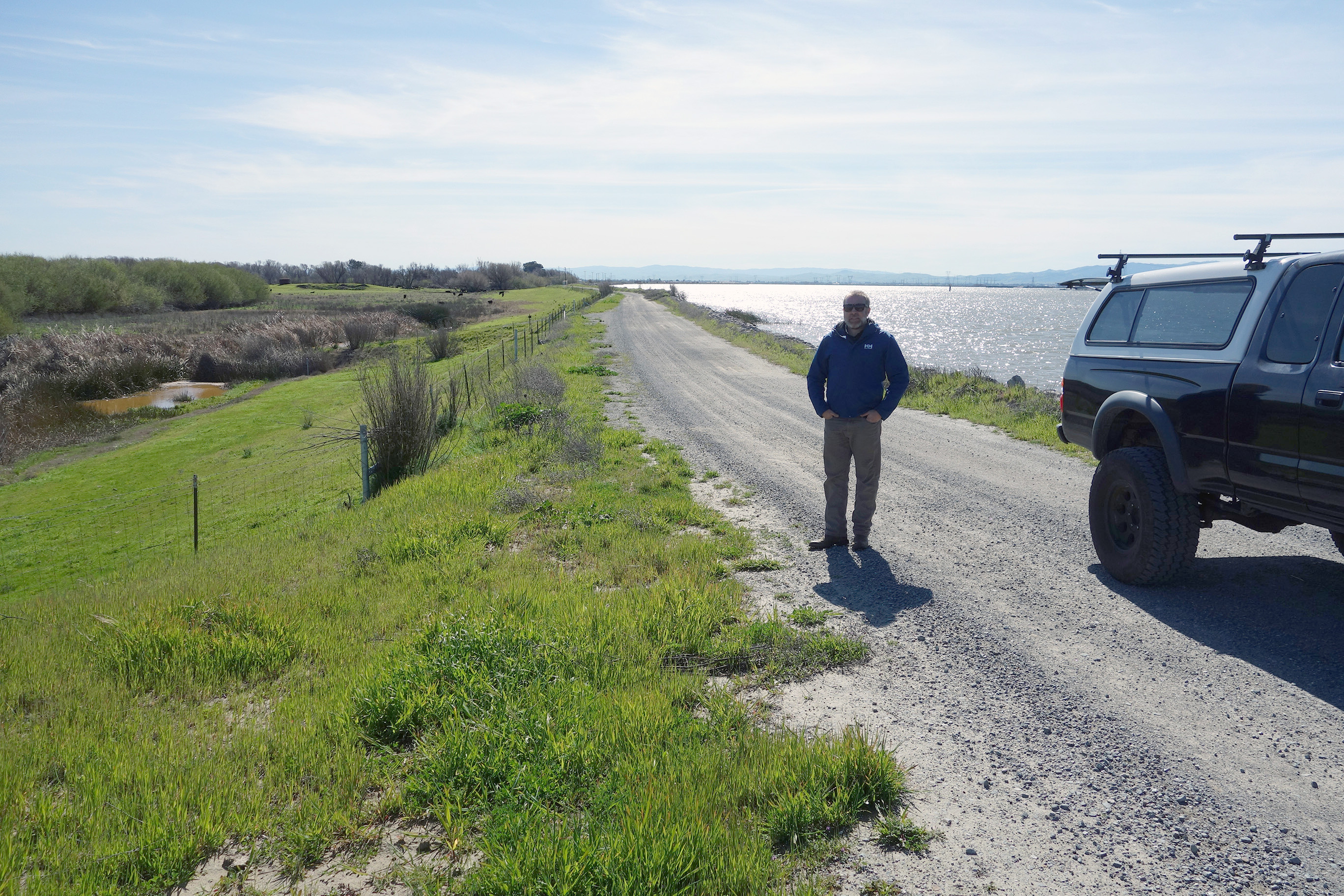
Ethan on the levee road along the San Joaquin.
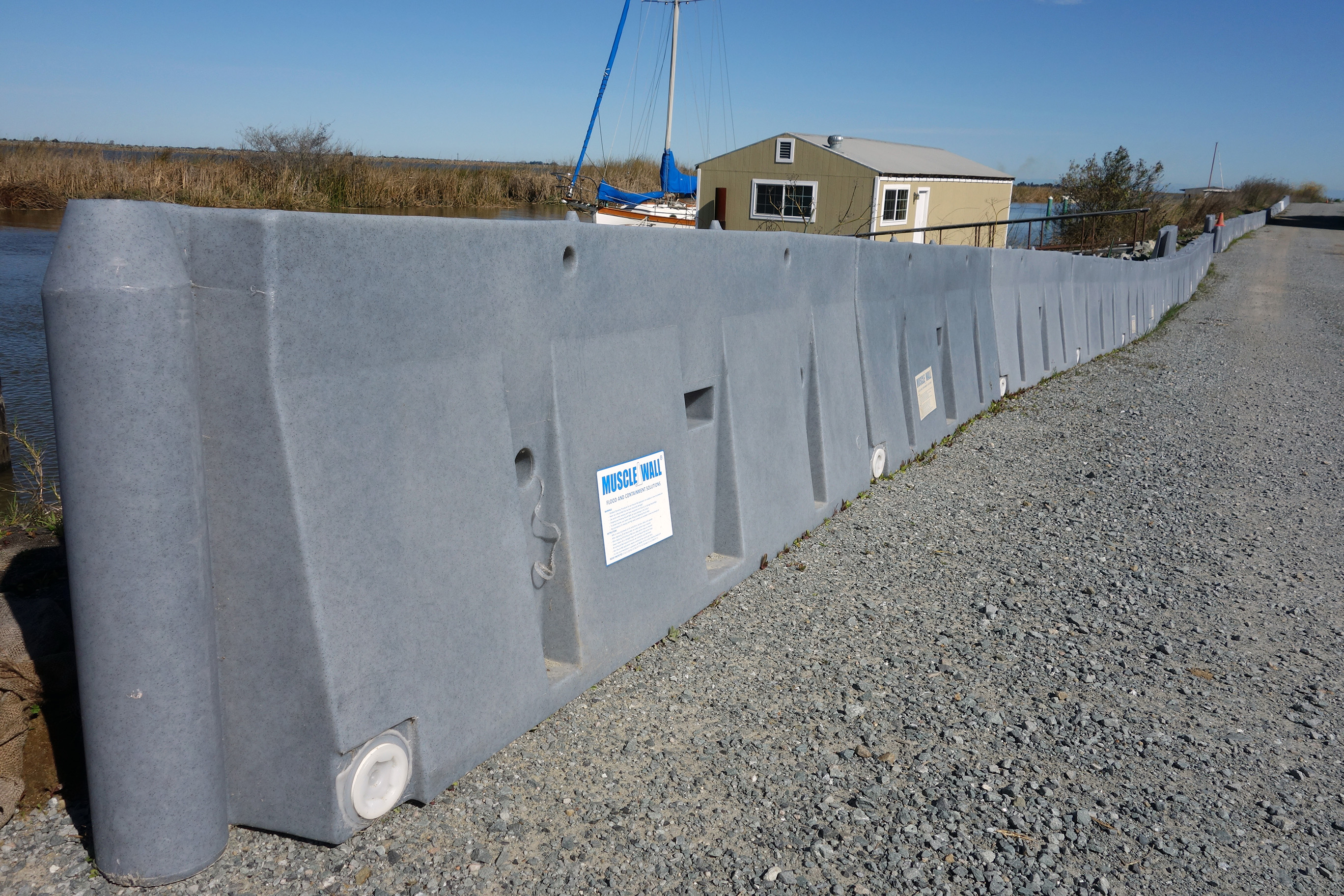
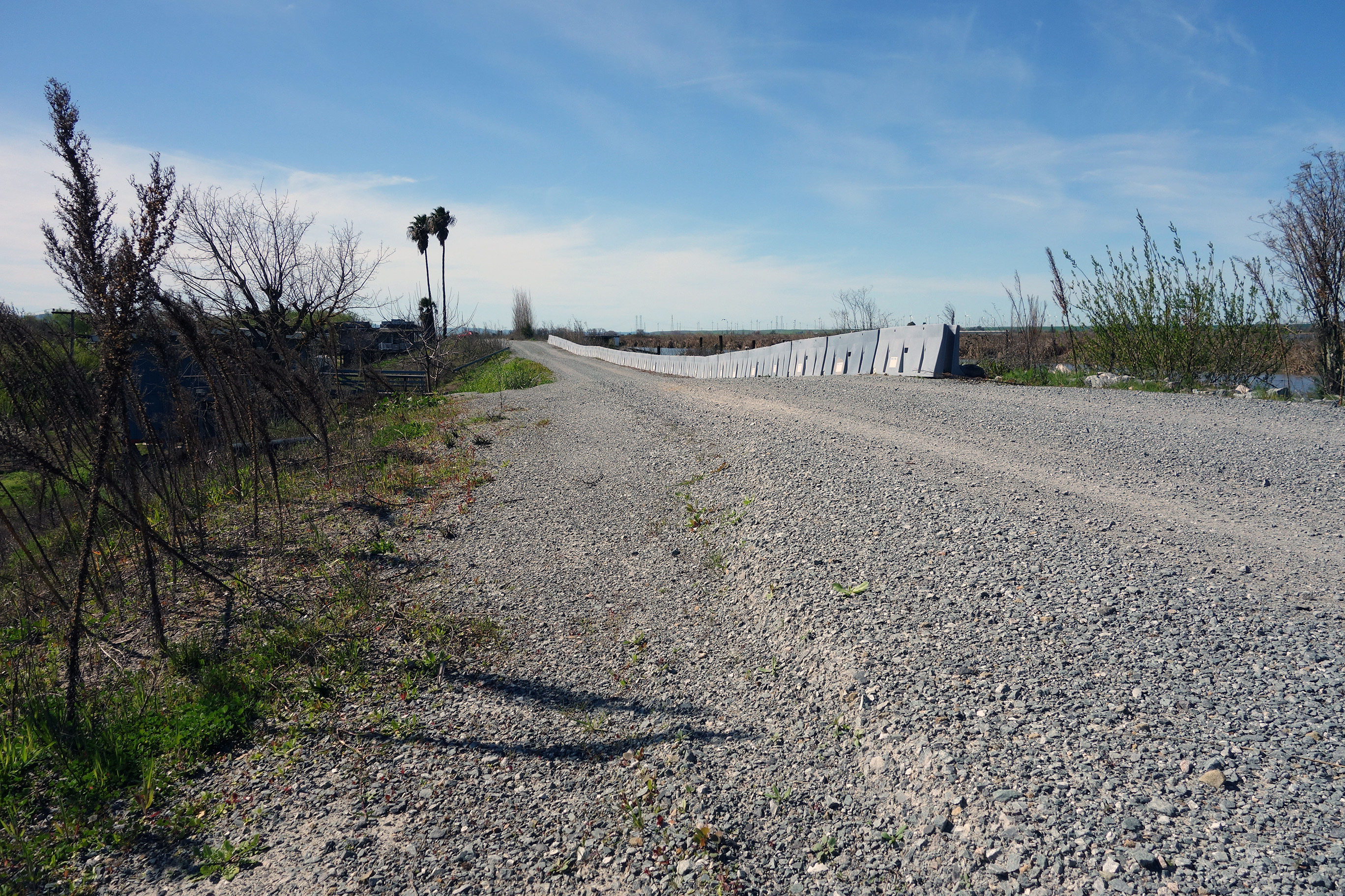
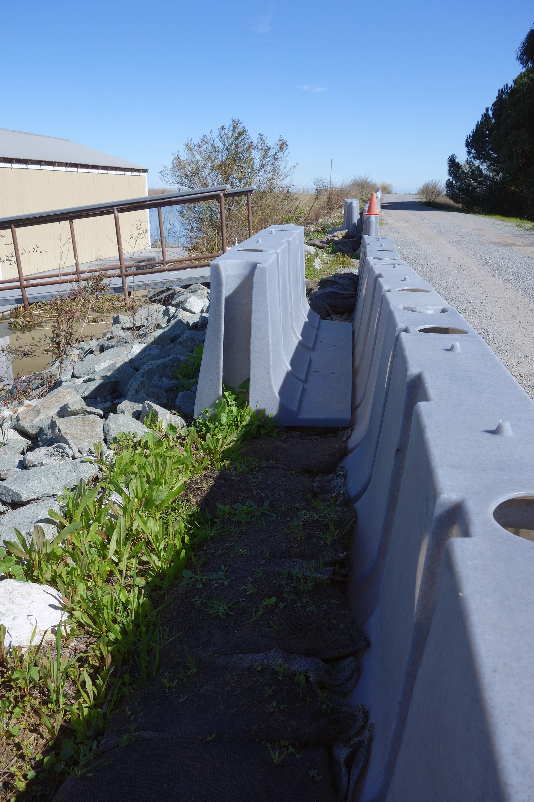
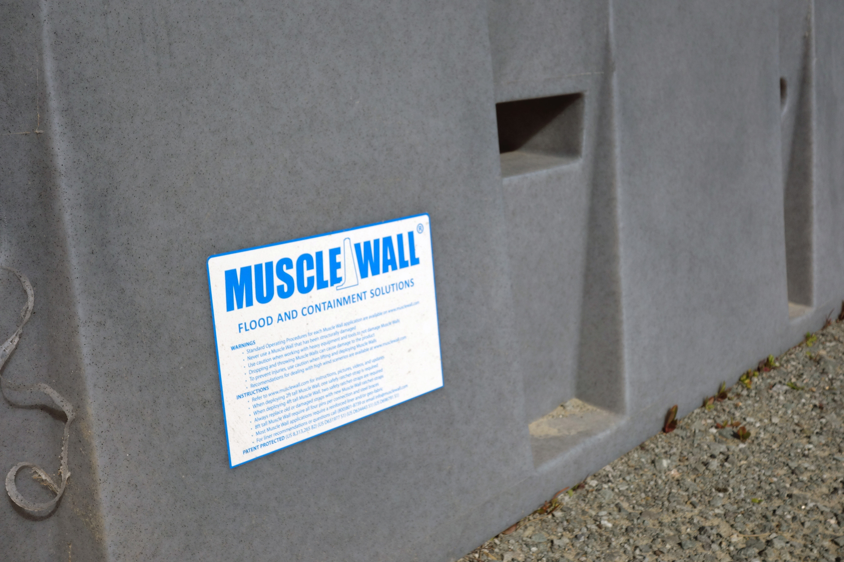
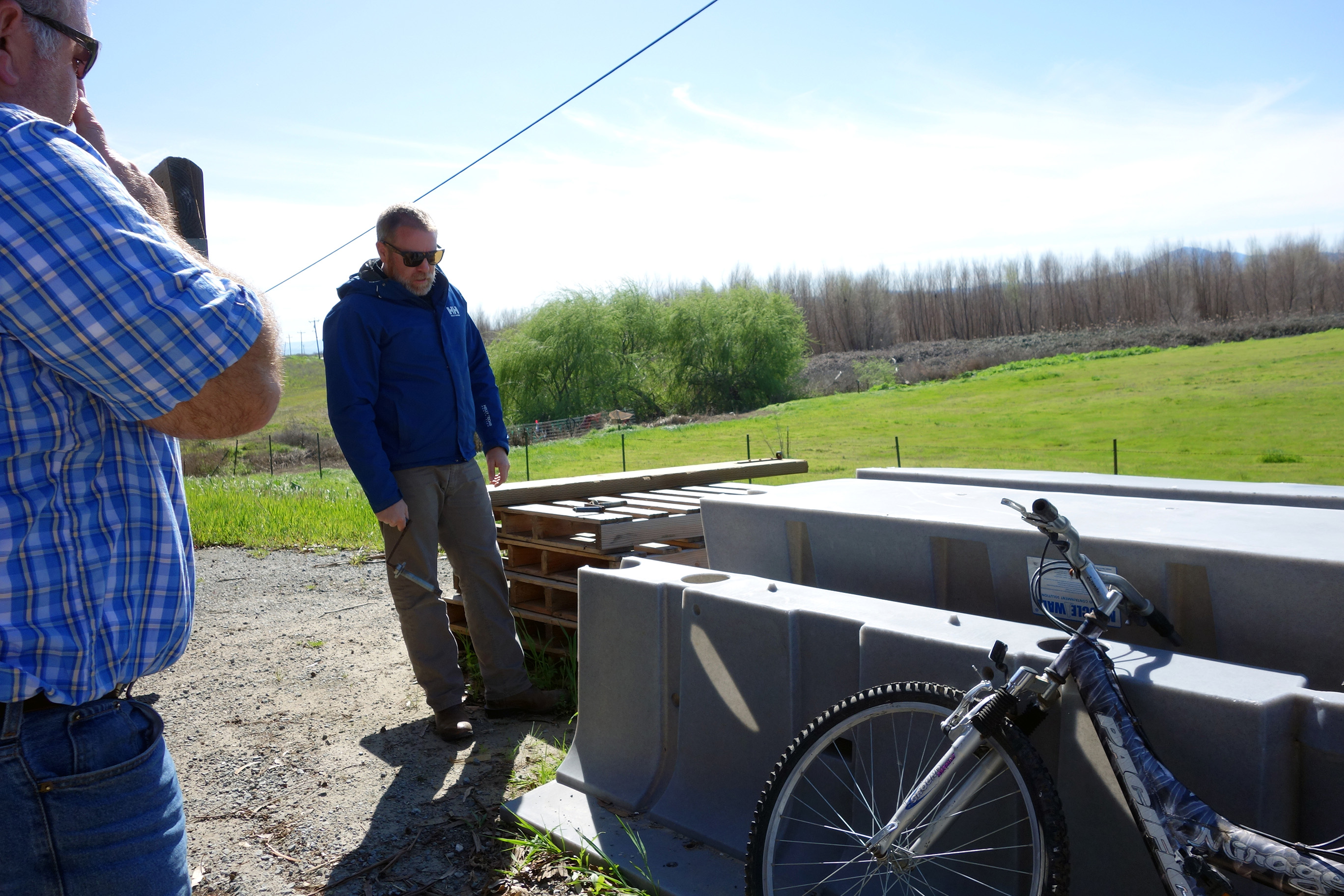
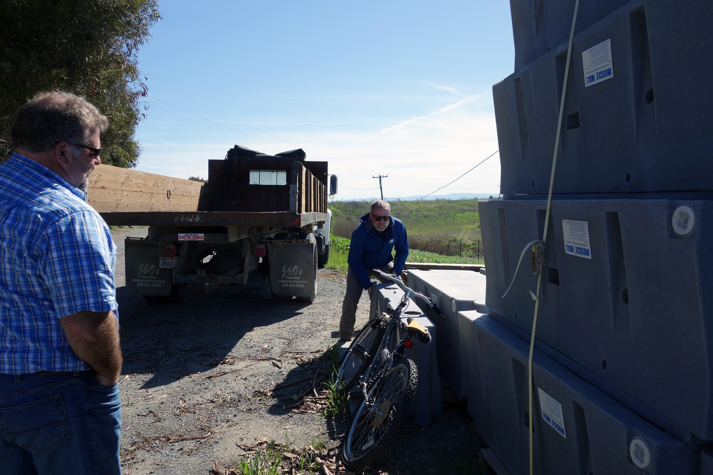
Low spots on the levee, armored with Muscle Wall.
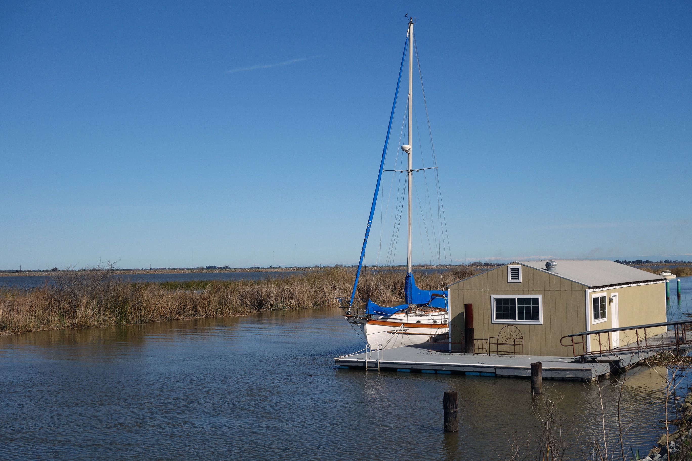
Local’s sailboat.
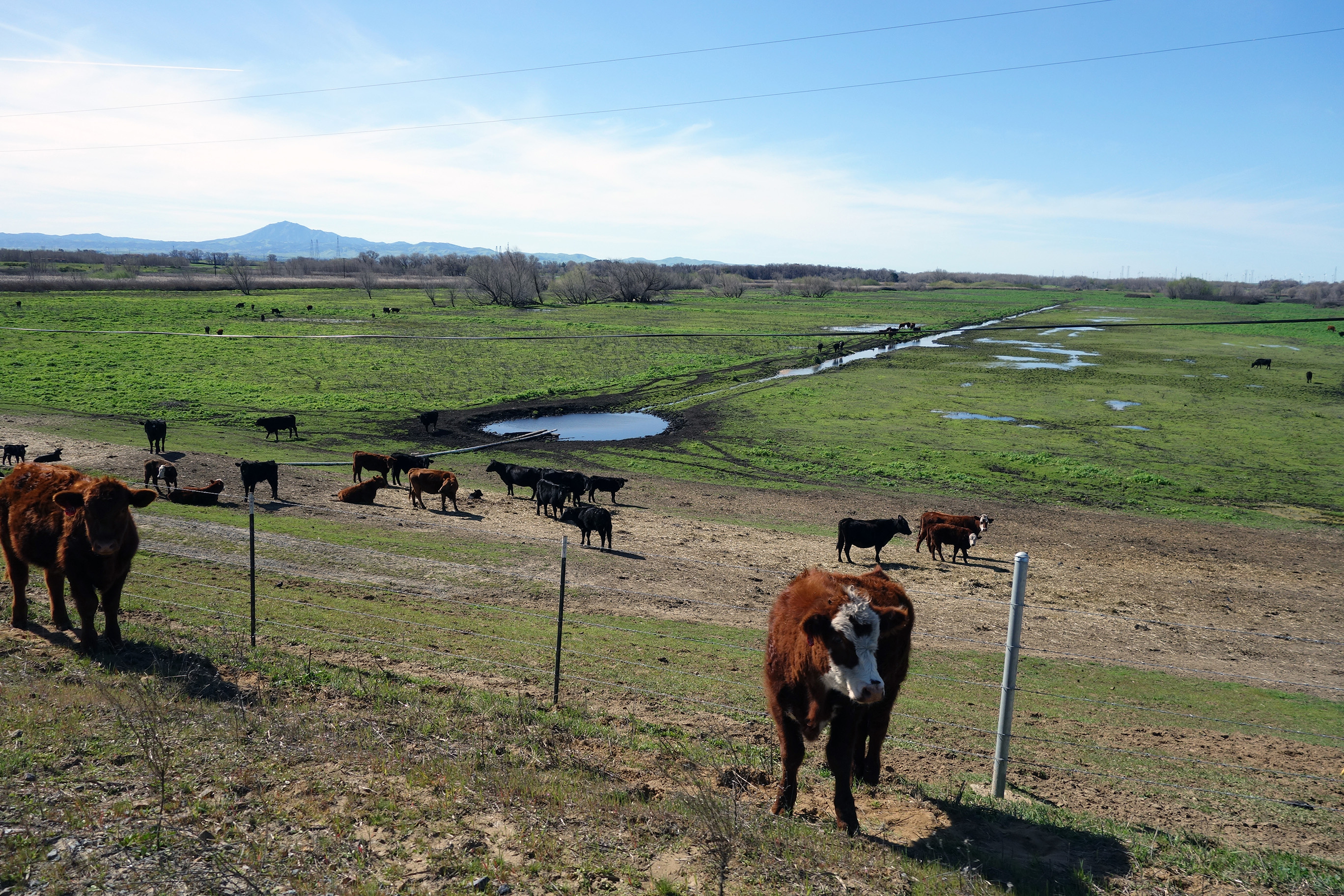
The island’s cattle, a couple escapee’s in the foreground.
Major pump station and a focus of our mapping.
At the levee above the pump station.
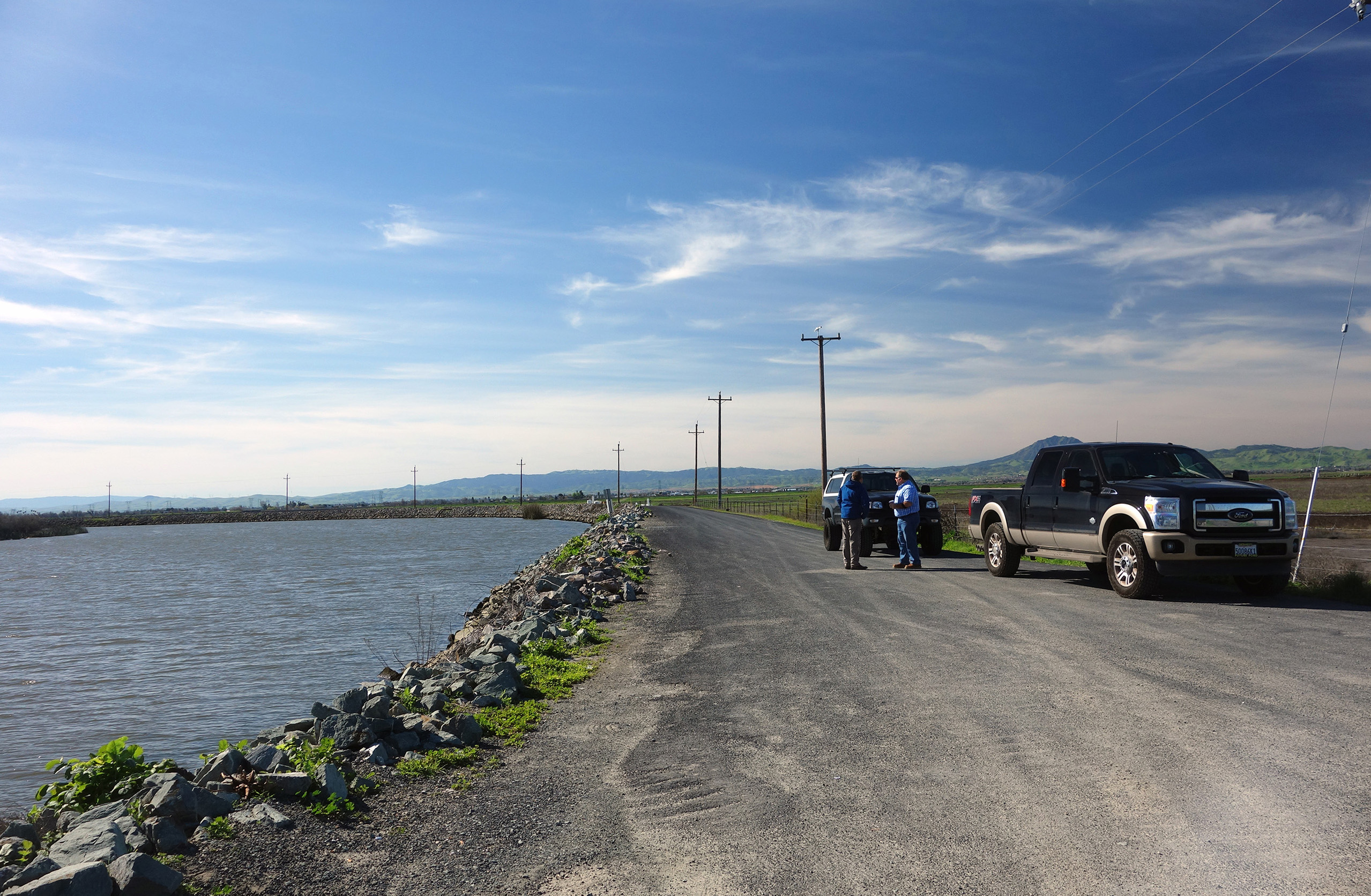
Ethan discussing the island’s flood fight stockpiles with Blake and Smith.
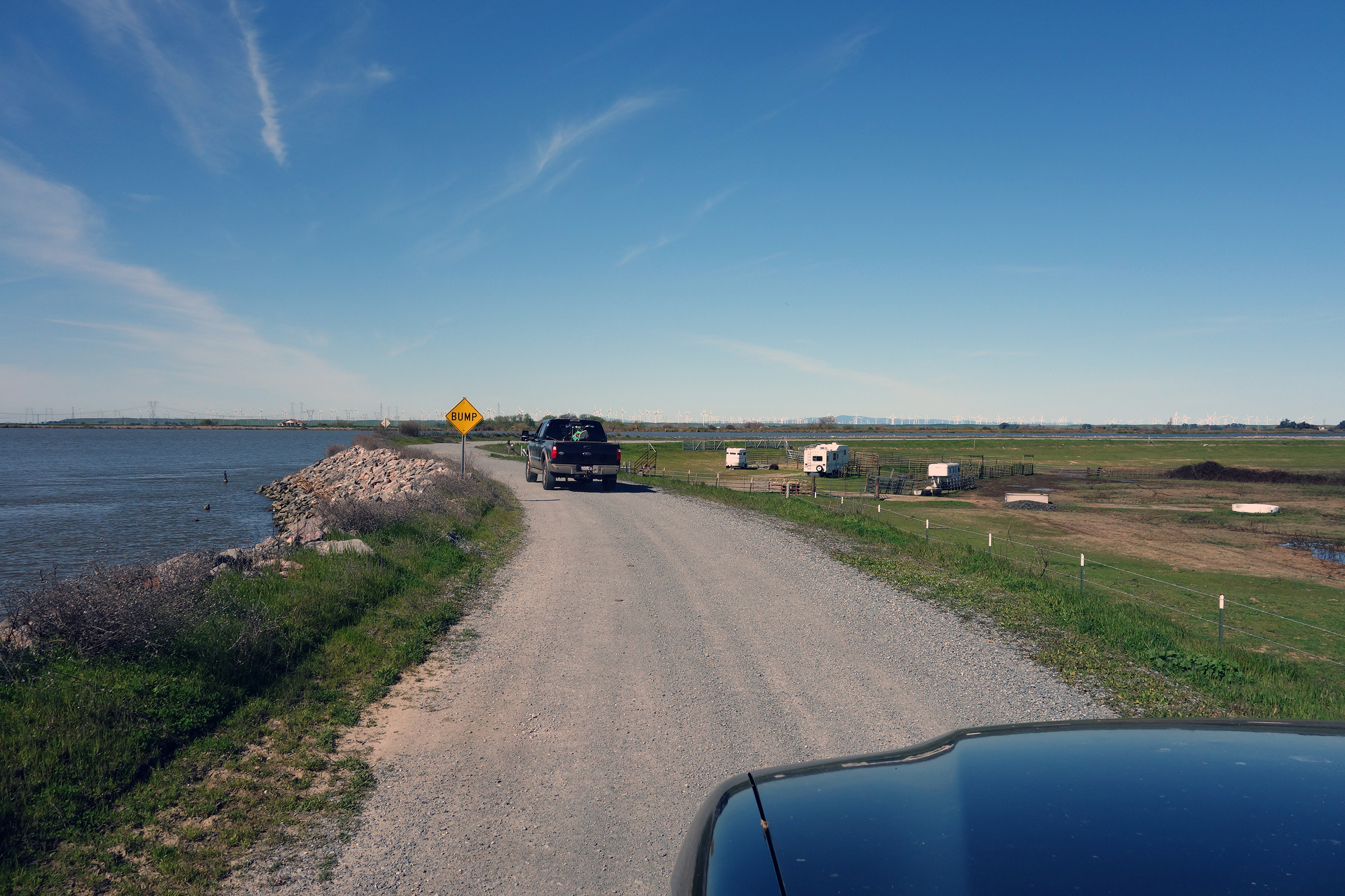
The road home.