The Sonoma County Agricultural Preservation and Open Space District (SCAPOSD) engaged DP+S to modernize its land stewardship data workflows and create a unified, District-wide system for GIS mapping, reporting, and field data management. The District manages thousands of acres of protected lands, and its staff needed a streamlined, accurate, and repeatable process to track stewardship actions and communicate the impact of taxpayer investments.
DP+S led a comprehensive overhaul of SCAPOSD’s land stewardship mapping program, developing the master datasets, data schemas, and GIS workflows required to support a sustainable, organization-wide system of record. This included creating standardized business processes that guide how new stewardship information is captured, validated, and integrated across departments—ensuring long-term data integrity as the District’s portfolio continues to grow.
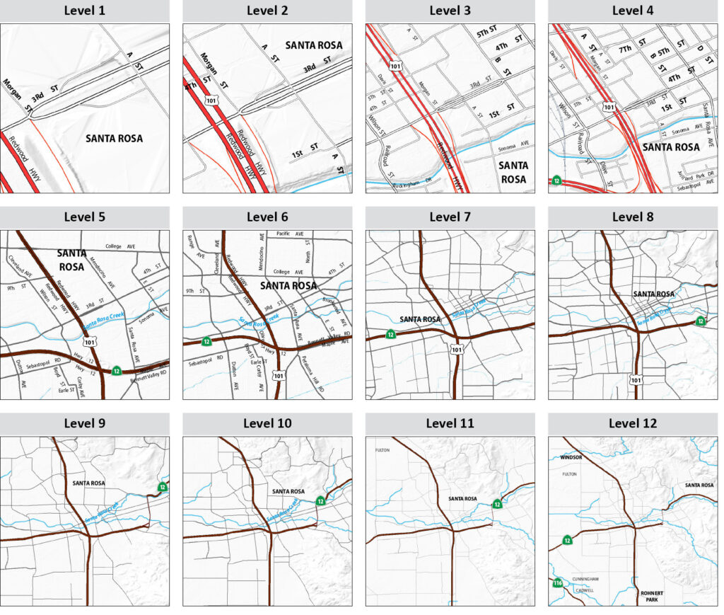
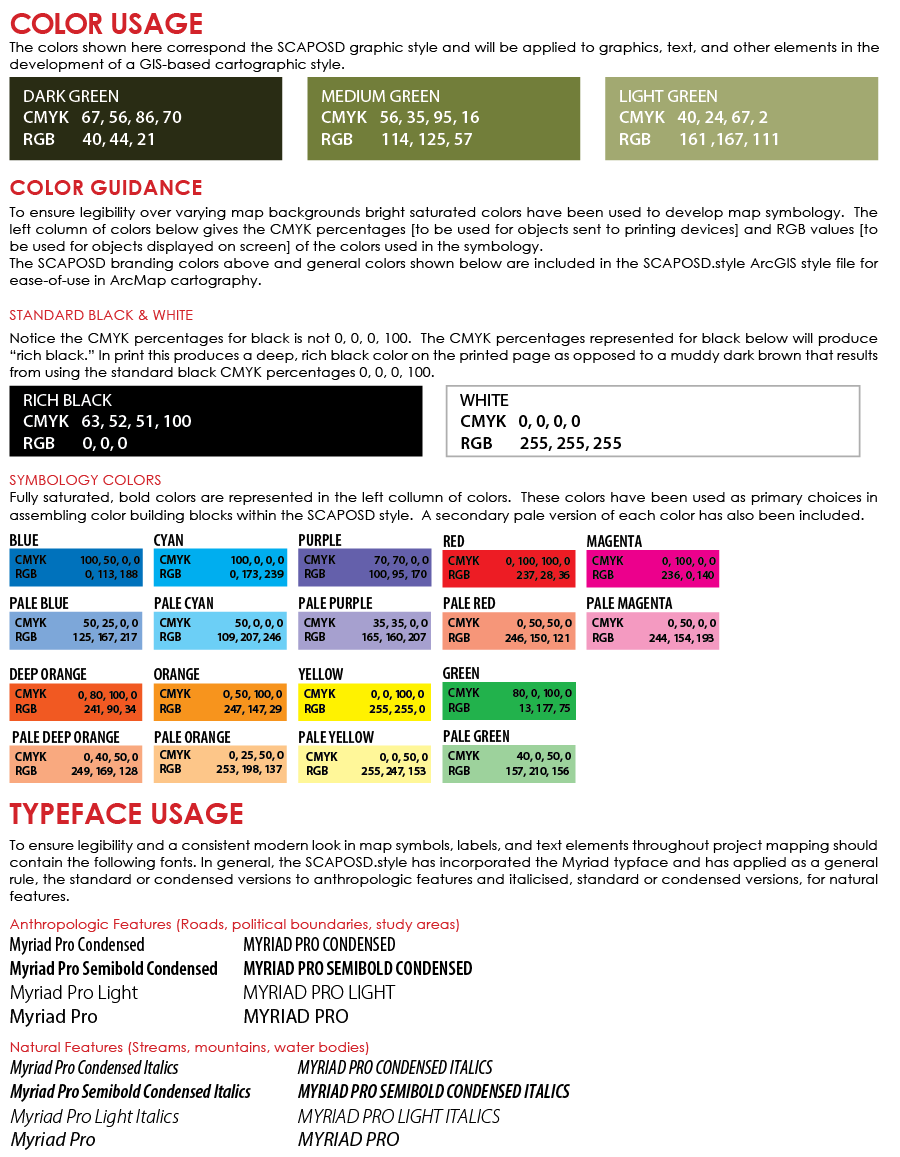
A key component of the project was the creation of a GIS-based map template and production system capable of generating more than 10,000 maps automatically. DP+S designed a flexible template library, a District GIS style guide, and automated map production tools that dramatically reduced staff time spent on cartography while increasing consistency and quality. The new system enables staff to quickly produce maps for stewardship planning, acquisition documentation, board presentations, field operations, and public communication—using only minimal user inputs.
The result is a modernized, efficient, and scalable mapping program that supports SCAPOSD’s mission by improving transparency, operational efficiency, and the clarity of reporting on public investments in Sonoma County’s agricultural and open space lands.