Dynamic Planning + Science partnered with the City of Whittier to prepare its 2026 Hazard Mitigation Plan update, establishing a data-driven framework for reducing long-term risks to residents, property, infrastructure, and essential community services. The plan updates Whittier’s understanding of local hazards, evaluates physical, social, and economic vulnerabilities, and identifies practical investments that can strengthen community resilience before future disasters occur.
The planning process incorporated updated GIS data, climate change considerations, public and stakeholder input, and interactive tools for exploring risk and developing mitigation actions. FEMA approved the plan in July 2026, maintaining the City’s eligibility to pursue federal Hazard Mitigation Assistance funding.
- Assessed earthquake, slope failure, wildfire, extreme heat, drought, severe weather, and climate change
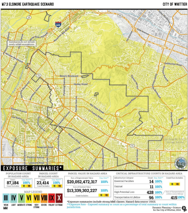
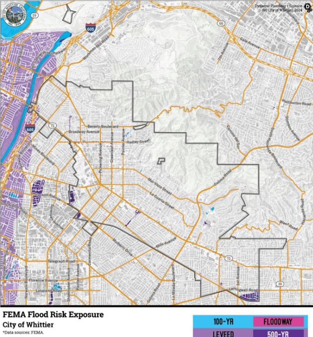
- Evaluated hazard exposure among residents, vulnerable populations, properties, critical facilities, and infrastructure
- Examined potential impacts from major earthquake scenarios and mapped fault-related investigation zones
- Used the Risk Assessment Mapping Platform and Mitigation Action Support Tool to explore vulnerabilities and develop implementation-focused actions
- Identified 42 mitigation actions, including 22 continued from the prior plan and 20 developed from updated risk findings
- Considered how changing climate conditions may intensify heat, drought, wildfire, and severe weather impacts
- Engaged a multidisciplinary planning team, partner agencies, stakeholders, and community members in identifying risks and priorities
- Received FEMA approval in July 2026, supporting continued access to federal mitigation funding