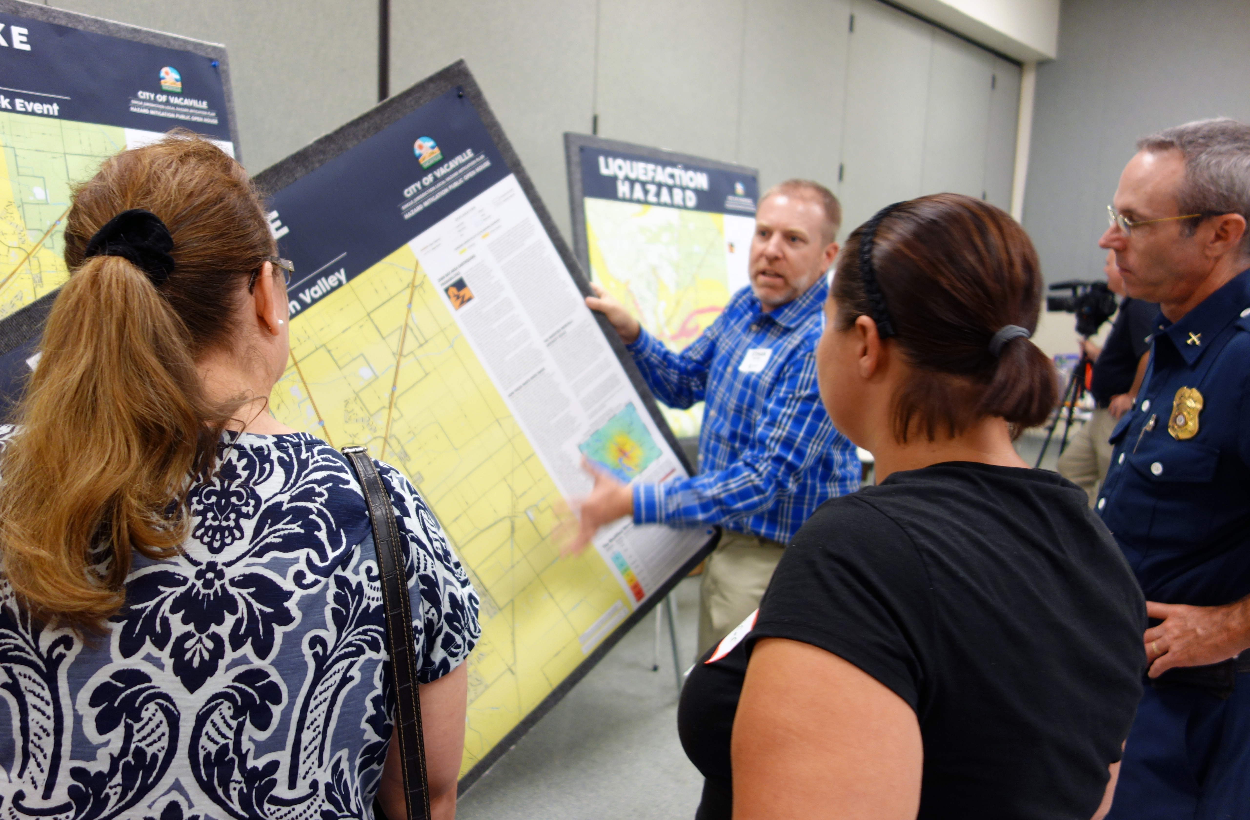
City of Tehama General Plan Update

Dynamic Planning + Science led a comprehensive technical update of the City of Tehama’s General Plan, guiding long-term growth and land use decisions through the year 2045. As the city’s foundational planning document—often referred to as a “constitution” for future development—the General Plan outlines goals, policies, and implementation actions across six state-mandated elements: Land Use, […]

Lancaster School District CEQA Compliance Services

Plan Update and Feasibility Study: Updated Tehama County’s 2012 Hazard Mitigation Plan and developed a Community Rating System program feasibility study to enhance flood resilience.
Flood Inundation Mapping: Created detailed flood and dam inundation mapping products for high-risk areas to support emergency response and public awareness.
Public Outreach Materials: Developed engaging maps to communicate anticipated flood depths along the Sacramento River Corridor, focusing on vulnerable populations.
Funding Alignment: Identified practical mitigation actions and funding opportunities, ensuring alignment with FEMA grant guidelines.
Proven Expertise: Built on a successful track record of securing grants and collaborating with local and state agencies for mitigation projects.

City of Delta Planning Services

2019-Ongoing DP+S has provided planning services to the City of Delta since 2019, including development review, floodplain management, and long-range planning support. This role has primarily been filled by DP+S staff member Raini Ott since May 2021, with occasional support from other team members. In our time working with the city, we have become intimately […]

City of Shasta Lake Planning Services

Plan Update and Feasibility Study: Updated Tehama County’s 2012 Hazard Mitigation Plan and developed a Community Rating System program feasibility study to enhance flood resilience.
Flood Inundation Mapping: Created detailed flood and dam inundation mapping products for high-risk areas to support emergency response and public awareness.
Public Outreach Materials: Developed engaging maps to communicate anticipated flood depths along the Sacramento River Corridor, focusing on vulnerable populations.
Funding Alignment: Identified practical mitigation actions and funding opportunities, ensuring alignment with FEMA grant guidelines.
Proven Expertise: Built on a successful track record of securing grants and collaborating with local and state agencies for mitigation projects.